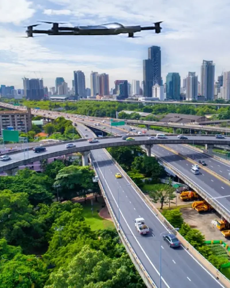
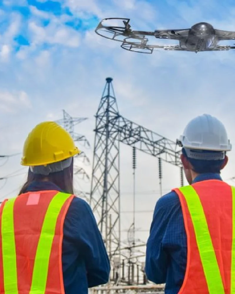
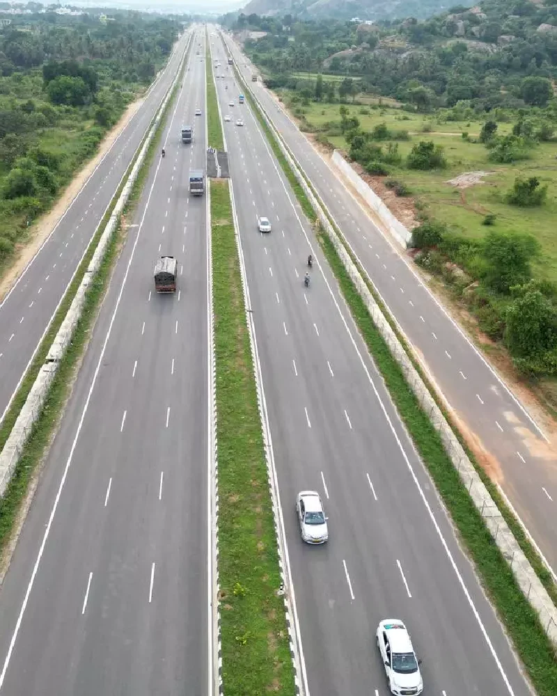
Drone Service

  • Home
  • Services
  • Drone Service
Drone Service

Take Your Projects Higher with Advanced Drone Insights

Drone Services from H Square Media Solutions
In a world where precision, speed, and clarity are increasingly important, drone technology has become a valuable resource. H Square Media Solutions delivers specialized drone services offering breathtaking aerial imagery and high-value data across various industries and use cases.

With certified pilots and advanced data processing equipment, we deliver quality, value, and effectiveness to propel informed decisions.

High-Tech Drone Services to Every Industry

Here's what separates H Square Media Solutions from all other aerial video/photogrammetry services:

Safety-Oriented Procedures

Safety is our first priority. We observe strict aviation guidelines and only fly reliable, professional-grade UAV equipment.

Licensed & Experienced Pilots

We have licensed and skilled UAV operators. They bring years of direct experience applying creative and technical drone capabilities.

Accurate Data Processing

We process aerial data with sophisticated software and analytics tools to deliver easy-to-understand actionable information for your infrastructure, real estate, agriculture, etc.

Flexible Deliverables

No two jobs are the same and therefore we provide flexible drone presets that allow for the delivery of service in a custom, precise manner that meets your needs and promotes your objectives.

See Your Project from a Higher Perspective

Whether you need high-resolution aerial imagery, 3D mapping, or cinematic drone footage, H Square Media Solutions is your trusted partner for drone solutions that deliver results.

Contact us today to schedule a consultation and learn how our drone services can elevate your next project.
Get in Touch →

Drone Service Services

We Create Compelling Videos Across Industries:

Roads & Highway

At H Square Media Solutions, we're transforming road and highway construction monitoring with the use of drone videography. Our aerial solutions provide real-time, high-definition insights allowing project managers, engineers, and stakeholders to make better and faster decisions throughout every phase of the build.

Read More

Drone Mapping

H Square Media Solutions uses the latest drone mapping technology to provide accurate and data-rich imagery, enabling smarter planning, development, and management across urban and rural settings.

Read More

Aerial Photo / Videography

At H Square Media Solutions, we use cutting-edge drone technology and storytelling to create aerial videography that is not only beautiful, but also strategic and effective. Our drone shoots provide immersive perspectives that add scale, drama, and clarity to every project you produce.

Read More

Urban / Rural Planning

At H Square Media Solutions, we change the way cities grow and evolve by providing aerial, data-driven insights to create smarter, greener, and more resilient cities.

Read More

Mines / Quarries

At H Square Media Solutions, we innovate from the bottom-up by elevating your operations into the air. With our advanced drone solutions, we are transforming the mining and quarrying industries by providing timely data through safe inspections. This allows for intelligent resource management and supports your sustainability goals.

Read More

Power Lines & Utilities

At H Square Media Solutions, we provide utility companies with a modern approach to asset inspection and monitoring. Utility-oriented drone inspections are fast becoming the industry norm. By deploying aerial inspection solutions, organizations can safely monitor high-voltage power lines, substations, transmission towers, and other critical infrastructure—timely and cost-effectively.

Read More